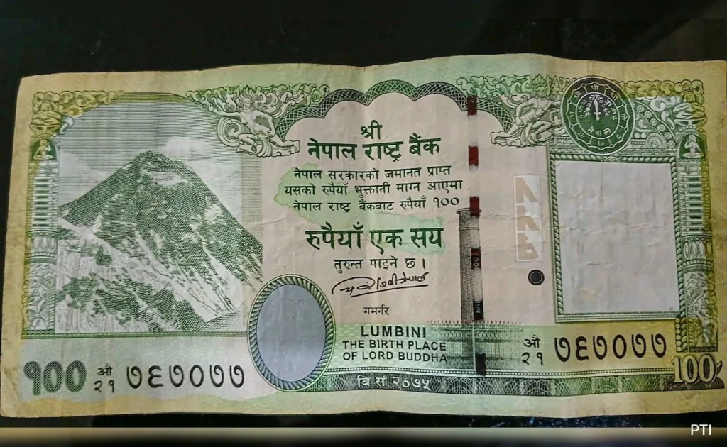
Nepal cabinet has approved the printing of new currency notes that feature a map including the territories of Limpiyadhura, Lipulekh, and Kalapani, areas involved in a border dispute with India.
About India-Nepal Border Dispute:
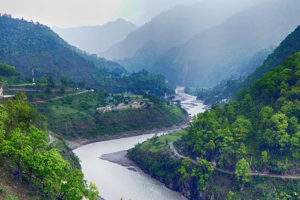
- The India-Nepal border dispute encompasses regions including Kalapani, Lipulekh, Limpiyadhura (all in Uttarakhand), and Susta (West Champaran district, Bihar).
- Kalapani is the largest territorial dispute, covering at least 37,000 hectares in the High Himalayas.
Origin of the Dispute:
- The dispute originates from the Treaty of Sagauli signed in 1816 between the British East India Company and the Nepali Gurkha rulers, which used the River Kali to demarcate the boundary between India and Nepal.
- The core issue is the origin of River Kali:
- Nepal asserts that the river originates west of Kalapani, either from Limpiyadhura or nearby Lipulekh Pass, supporting their claim to the territory.
- India contends that the River Kali originates from a smaller stream called Pankhagad, located south of Kalapani, and views the eastern ridge of this area as the true border.
India’s Stand:
- India maintains that the territories of Limpiyadhura, Lipulekh, and Kalapani rightfully belong to India.
- India describes Nepal’s constitutional amendment, which includes these territories within its map, as a unilateral act, an artificial enlargement, and untenable.
Ref: Source
| UPSC IAS Preparation Resources | |
| Current Affairs Analysis | Topperspedia |
| GS Shots | Simply Explained |
| Daily Flash Cards | Daily Quiz |


