









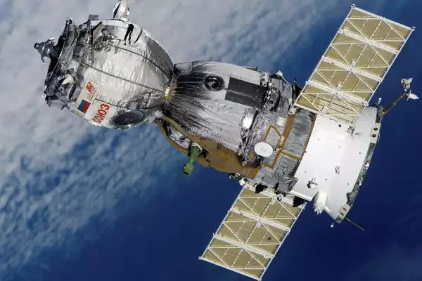
Cartosat-2, ISRO’s first satellite in the 2nd generation of high-resolution imaging satellites, recently completed its mission by safely re-entering the Earth’s atmosphere.
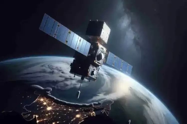
About the Cartosat-2:
- It is ISRO’s first satellite in the 2nd generation of high-resolution imaging satellites.
- It was launched in 2007, using PSLV– C7 (Polar Satellite Launch Vehicle).
- It operated in a sun-synchronous polar orbit at an altitude of 635 km.
- It was initially designed to provide high-resolution imagery for urban planning until 2019.
- It is expected to naturally de-orbit in about 30 years.
ISRO’s decision on the Cartosat-2:
- ISRO’s decision to lower Cartosat-2‘s perigee using leftover fuel to comply with international guidelines on space debris mitigation.
- It complies with recommendations from organizations like the United Nations Committee on the Peaceful Uses of Outer Space (UN-COPOUS) and the Inter-Agency Space Debris Coordination Committee (IADC).
Ref: Source
| UPSC IAS Preparation Resources | |
| Current Affairs Analysis | Topperspedia |
| GS Shots | Simply Explained |
| Daily Flash Cards | Daily Quiz |