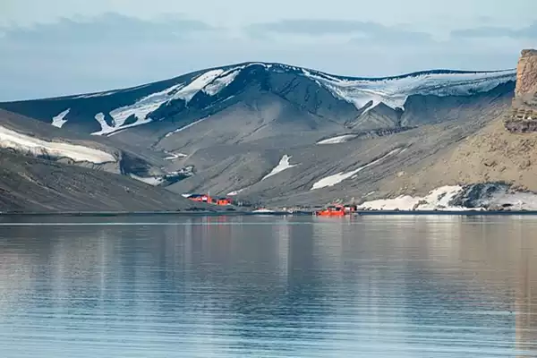
NASA shares a satellite image of Deception Island.

[ref- antarctic-monument]
About Deception Island:
- It is an island with a large and usually safenatural harbour, which is occasionally troubled by the underlying active volcano.
- The harbour is known as Port Foster.
- This island is the caldera of an active volcano.
- The island is shaped like a horseshoe and the land is rocky and mountainous with white snow on some peaks.
- The island has also served as a whaling and seal-hunting station from 1906 to 1931 and, during World War II, as a British military base.
- It is one of the only places in the world where ships can sail directly into the center of an active volcano.
- The Antarctic Treaty System presently governs the island.
Location of Deception Island:
- Deception Island is part of the line of islands called the South Shetland Islands, lying northwest of the Antarctic Peninsula.
- It is Located within the Bransfield Strait.
South Shetland Islands
- South Shetland Islands is an island group forming part of the British Antarctic Territory in the Drake Passage of the South Atlantic Ocean.
- It lies north of the Antarctic Peninsula, Antarctica and southwest of the nearest point of the South Orkney Islands.
Ref: Source
| UPSC IAS Preparation Resources | |
| Current Affairs Analysis | Topperspedia |
| GS Shots | Simply Explained |
| Daily Flash Cards | Daily Quiz |


