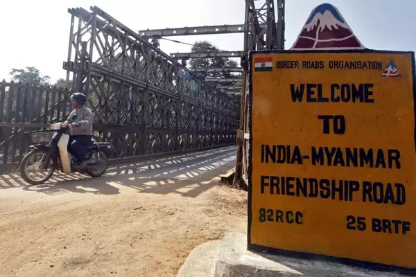
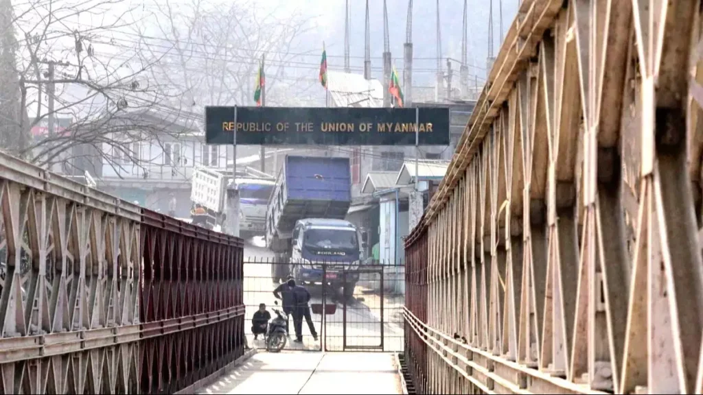
The Union government recently approved ₹31,000 crore for fencing of the India- Myanmar border, while scrapping theFree Movement Regime (FMR).
About India- Myanmar border:
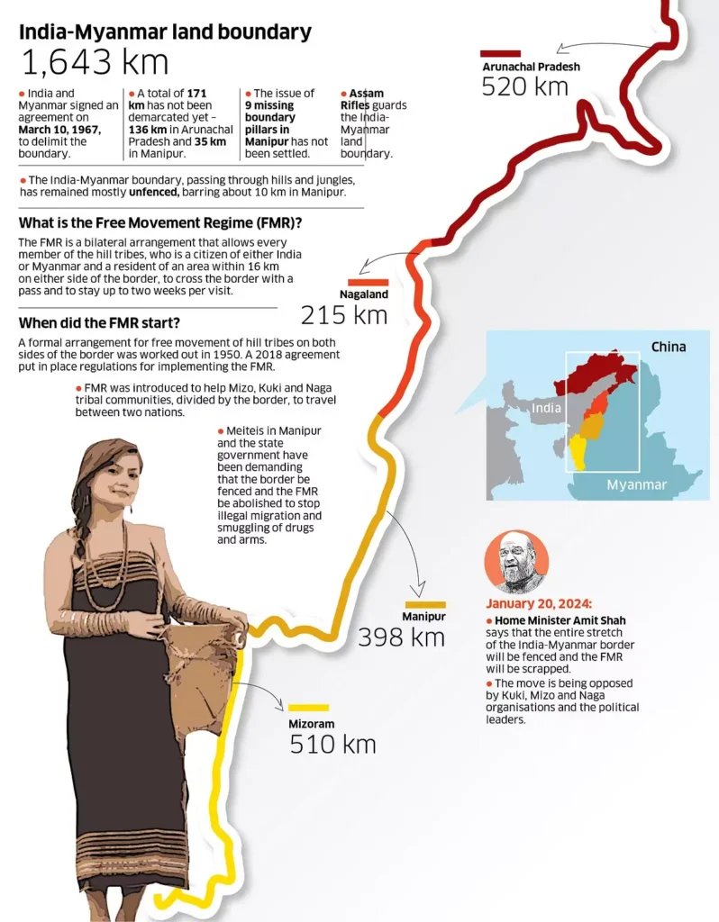
- The 1,643-km Myanmar border runs along the States of Arunachal Pradesh (520 km), Nagaland (215 km), Manipur (398 km) and Mizoram (510 km).
- It runs from the tripoint with China in the north to the tripoint with Bangladesh in the south.
- This border includes diverse geographical features such as the Mishmi Hills, Patkai, Kassom Ranges, Tiau River, and Chin Hills.
- The fencing work had been completed on 30 km of the border, which, he termed the root cause of the ethnic violence in Manipur.
- The Cabinet Committee on Security had approved the construction of border fencing and roads along the border at an approximate cost of ₹31,000 crore.
- About 10 km of fencing was completed near Moreh and work is under way to fence another 21 km of the border in other areas of Manipur.
- The Home Ministry scrapped the Free Movement Regime (FMR), which allows people residing near border to venture 16 km into each other’s territory without any documents.
Free Movement Regime (FMR):
- Implemented in 2018, the FMR allows residents on both sides of the 1,643 km India-Myanmar border to travel up to 16 km into each other’s territory without a visa.
- This requires a border pass valid for one year, allowing a stay of up to two weeks. The border affects four states: Mizoram, Manipur, Nagaland, and Arunachal Pradesh.
About Porous Border:
- A porous border refers to areas along national boundaries that lack sufficient protection to effectively control the movement of people and goods.
- This can include both open (unfenced) and closed (fenced) borders.
Current Status
- Open Borders: India shares open borders with Nepal and Bhutan.
- India faces porous border challenges with Pakistan, Bangladesh, and China which include threats to National Security including:
- Cross-Border Terrorism
- Insurgency in the North East
- Arms Smuggling
- Human Trafficking
- Drug Trafficking– Myanmar is part of the Golden Triangle, a major region for opium production.
- Refugee Influx– Political instability in neighboring countries leads to an influx of refugees.
Challenges in Border Fencing
- Features such as marshy lands, riverine borders, and extreme climatic conditions (e.g., Siachen Glacier) pose significant technological and financial challenges.
- Lack of Demarcation: Some borders are disputed and remain undemarcated.
- Cross-border ethnic ties contribute to discontent; for example, the Zo Reunification Organisation in Mizoram protested against government decisions to fence the India-Myanmar border.
Recommendations for Addressing Border Issues
- Independent International Scientific Panel on AI.
- Twice-Yearly Intergovernmental and Multi-Stakeholder Policy Dialogue on AI Governance.
- Creation of an AI Standards Exchange to bring together stakeholders.
- Establishment of an AI Capacity Development Network.
- Creation of a Global Fund for AI to facilitate access to AI technologies.
- Development of a Global AI Data Framework, initiated by a relevant agency.
- Formation of an AI Office within the UN Secretariat to support and coordinate global efforts in AI risk management and governance.
Initiatives for Effective Border Management
- Comprehensive Integrated Border Management System (CIBMS): It integrates manpower, sensors, networks, intelligence, and command control solutions for enhanced border security.
- Border Electronically Dominated QRT Interception Technique (BOLD-QIT): Deployed under CIBMS, this technique utilizes various intrusion detection sensors (radar, electro optics, etc.).
- Border Infrastructure and Management (BIM) Scheme: A Central Sector Scheme focused on constructing border fences, flood lights, and other necessary infrastructure.
- Forest (Conservation) Amendment Act, 2023: This act exempts strategic projects concerning national security located within 100 km of international borders, LAC, and LoC from prior approval processes.
Ref: Source
| UPSC IAS Preparation Resources | |
| Current Affairs Analysis | Topperspedia |
| GS Shots | Simply Explained |
| Daily Flash Cards | Daily Quiz |
Frequently Asked Question:
How long is the India-Myanmar border?
The India-Myanmar border is 1,643 km long and runs through the states of Arunachal Pradesh, Nagaland, Manipur, and Mizoram.
What geographical features define the border area?
The border includes diverse geographical features such as the Mishmi Hills, Patkai and Kassom Ranges, Tiau River, and Chin Hills.
What is the significance of the fencing along the border?
Fencing aims to enhance security and control the movement of people and goods, addressing issues like ethnic violence in regions like Manipur.
What is the status of the border fencing project?
As of now, approximately 30 km of border fencing has been completed, with ongoing work to fence an additional 21 km in Manipur.


