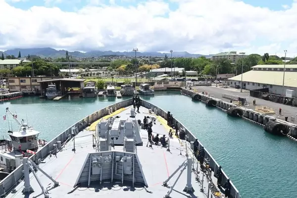
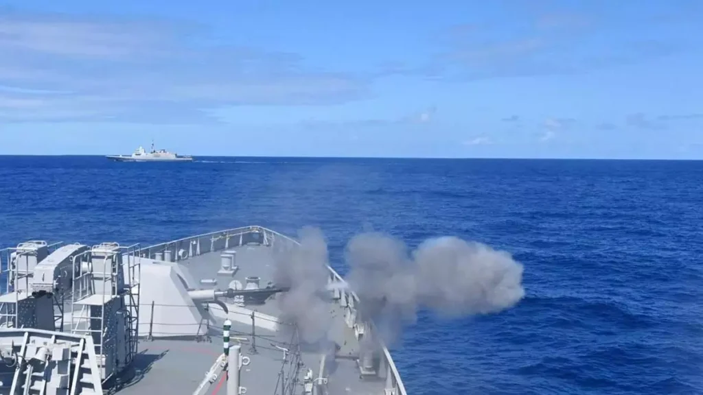
INS Shivalik recently reached Guam island territory of the U.S.A., for an Operational Turnaround on successful completion of the world’s largest Multinational Maritime Exercise RIMPAC 2024.
About Guam Island:
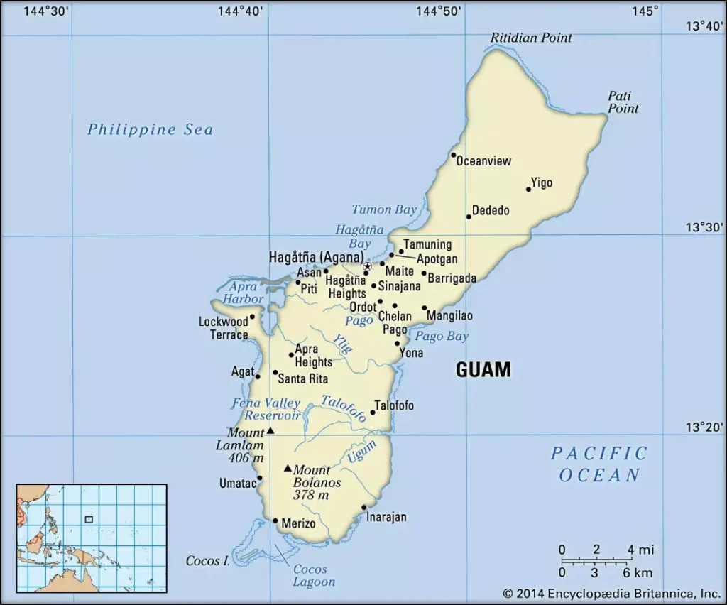
- Guam is an unincorporated territory of the United States located in the North Pacific Ocean, forming the largest, most populous, and southernmost of the Mariana Islands.
- It lies west of San Francisco and 1,600 miles east of Manila.
- The capital of Guam is Hagåtña, formerly known as Agana.
- The island’s major settlements include Dededo, situated in the north-central part, Machanao in the north, and Apotgan on the west coast.
- Guam is divided into two distinct areas: a northern limestone plateau and a southern region of volcanic hills.
- The highest point on the island is Mount Lamlam, reaching 1,332 feet, located in the southwest.
Ref: Source
| UPSC IAS Preparation Resources | |
| Current Affairs Analysis | Topperspedia |
| GS Shots | Simply Explained |
| Daily Flash Cards | Daily Quiz |
Frequently Asked Question:
What is Guam?
Guam is a territory of the United States located in the North Pacific Ocean. It is the largest, most populous, and southernmost of the Mariana Islands.
Where is Guam located?
Guam lies approximately 5,800 miles (9,300 km) west of San Francisco and about 1,600 miles (2,600 km) east of Manila, Philippines.
What are the major settlements on Guam?
Major settlements on the island include Dededo, located in the north-central part of Guam; Machanao, situated in the northern region; and Apotgan, found on the west coast.


