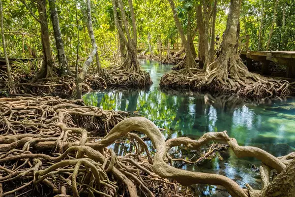
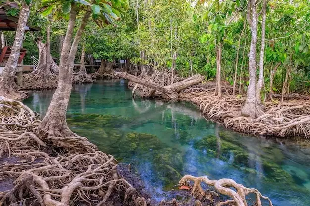
The Global Mangrove Alliance launched “The State of the World’s Mangroves 2024 Report” on World Mangrove Day.
- World Mangrove Day is observed on 26th July every year.
Key highlights of the State of the World’s Mangroves 2024 Report:
On India:
- Mangroves in the Lakshadweep archipelago and on the coast of Tamil Nadu are critically endangered due to rising sea levels due to global warming.
- Mangroves on the western seaboard (From Gujarat in the west to Kerala in the southern peninsular India) are vulnerable to collapse.
World:
- Southeast Asia accounts for 49,500 sq km or 33.6 per cent of global mangrove cover with Indonesia alone having 21 per cent of the world’s mangroves.
- It is followed by:
- West and Central Africa (22,802 sq km),
- North and Central America and the Caribbean (21,270 sq km),
- South America (19,469 sq km),
- Australia and New Zealand (10,348 sq km) and
- South Asia (in which India is located) with 9,749 sq km or 6.6 per cent of the world’s mangrove forests.
Mangrove Cover in India:
As per the India State of Forest Report, 2021:
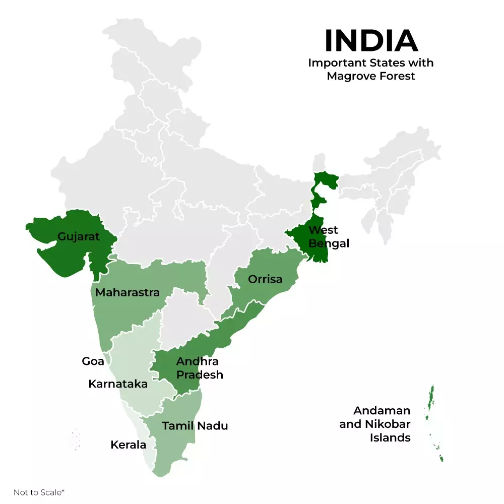
- Mangrove cover in India is estimated to be spread across 4,992 sq km.
- West Bengal (2,114 sq km) has the largest mangrove cover in India.
- Gujarat (1,177 sq km) comes second with mangrove forests largely located in the Gulf of Kutch and Gulf of Khambhat.
- Kutch district (794 sq km,) has the largest mangrove area in Gujarat.
State-wise mangrove cover in India:
[In Sq Km]
| SL. No. | State/UT | Very Dense Mangrove | Moderately Dense Mangrove | Open Mangrove | Total | Change with respect to ISFR 2019 |
| 1 | West Bengal | 994 | 692 | 428 | 2,114 | 2 |
| 2 | Gujarat | 0 | 169 | 1,006 | 1,175 | -2 |
| 3 | A&N Islands | 399 | 168 | 49 | 616 | 0 |
| 4 | Maharashtra | 0 | 90 | 234 | 324 | 4 |
| 5 | Odisha | 81 | 94 | 84 | 259 | 8 |
| 6 | Andhra Pradesh | 0 | 213 | 192 | 405 | 1 |
| 7 | Tamil Nadu | 1 | 27 | 17 | 45 | 0 |
| 8 | Karnataka | 0 | 2 | 11 | 13 | 3 |
| 9 | Kerala | 0 | 5 | 4 | 9 | 0 |
| 10 | Goa | 0 | 21 | 6 | 27 | 1 |
| 11 | D&NH and Daman & Diu | 0 | 0 | 3 | 3 | 0 |
| 12 | Puducherry | 0 | 0 | 2 | 2 | 0 |
[Ref: mangrovealliance]
Ref: Source
| UPSC IAS Preparation Resources | |
| Current Affairs Analysis | Topperspedia |
| GS Shots | Simply Explained |
| Daily Flash Cards | Daily Quiz |
Frequently Asked Question:
Who released the state of mangroves report?
The Global Mangrove Alliance releases the state of mangroves report.
How many mangroves are there in India?
Mangrove cover in India is estimated to be spread across 4,992 sq km, which is 0.15% of the country’s total geographical area.
Which is the largest mangrove in India?
Sundarbansin West Bengal is the largest mangrove in India accounting for almost half of the total area that is found under mangroves in India.
Which state has more mangroves in India?
West Bengal has more mangroves with an area covering 2,114 sq km, followed by Gujarat (1,175 sq km), and Andaman & Nicobar Islands (616 sq km).
Which is the 2nd largest mangrove in the world?
Pichavaram Mangrove Forest in Tamil Nadu is the 2nd largest mangrove in the world. Sundarbans is the first Mangrove Forest in the world.


