The National Highways Authority of India (NHAI) is enhancing traffic management at toll plazas with a new Global Information System GIS-based software system.
Details of GIS-based software system by NHAI:
- The objective is to ensure seamless movement of traffic and improve the tolling experience on National Highways.
- GIS-Based Software is developed by the Indian Highways Management Company Limited (IHMCL), this software provides real-time monitoring of waiting times at toll plazas.
- Around 100 toll plazas have been selected for live monitoring based on congestion feedback from the 1033 National Highway helpline.
- The system will track queue length, total waiting time, and vehicle speed.
- It will also issue congestion alerts and recommend lane distribution adjustments if queues exceed prescribed limits.
Significance:
- Data Reporting: Provides hourly, daily, weekly, and monthly traffic condition analysis for better insight.
- Weather and Event Updates: Offers current weather conditions and information about local festivals to help officials manage traffic more effectively.
- Enhanced Traffic Flow: Aims to reduce congestion and ensure a smoother tolling experience for users.
- Informed Decision-Making: Helps NHAI officials take proactive measures to manage traffic and alleviate congestion.
About Geographic Information System (GIS):
- It is a framework for gathering, managing, and analyzing spatial and geographic data.
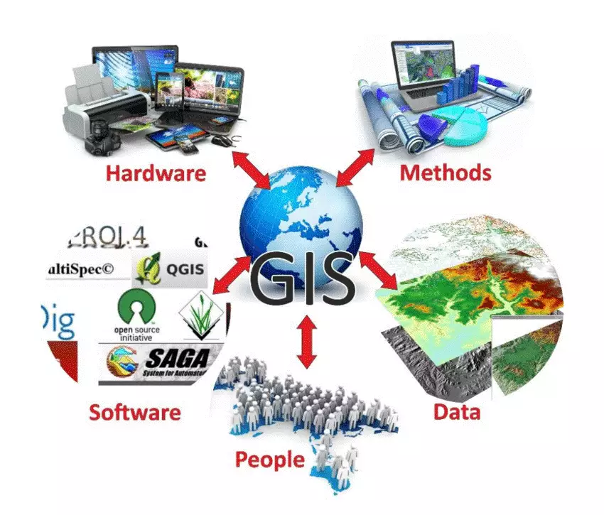
- It combines hardware, software, and data to capture, manage, analyze, and visualize geographic information.
- GIS allows users to understand spatial patterns and relationships by overlaying various types of data on maps.
- In India, GIS planning is being used for Mahatma Gandhi National Rural Employment Guarantee Scheme (MGNREGS) and Pradhan Mantri Gram Sadak Yojana (PMGSY).
- PARIVESH, e-Green Watch, Gram Manchitra, Bharat Map services, etc. make use of GIS Technology.
Ref: Source
| UPSC IAS Preparation Resources | |
| Current Affairs Analysis | Topperspedia |
| GS Shots | Simply Explained |
| Daily Flash Cards | Daily Quiz |
Frequently Asked Question:
What is a Geographic Information System (GIS)?
GIS is a framework for gathering, managing, and analyzing spatial and geographic data. It combines hardware, software, and data to capture, manage, analyze, and visualize geographic information.
Who developed the GIS-based software used by NHAI?
The GIS-based software was developed by the Indian Highways Management Company Limited (IHMCL).
Which GIS-based systems are utilized in India?
GIS-based systems in India include PARIVESH for environmental clearance, e-Green Watch for environmental monitoring, Gram Manchitra for rural planning, and Bharat Map services for mapping and spatial data.


